Overview
High-Wing Aircraft & Pod Sensor Flight Support
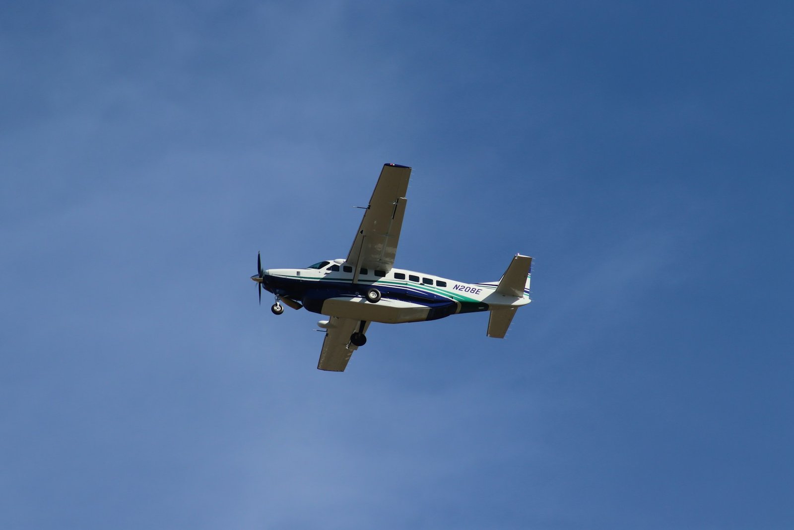
National Aerial Services is expanding its nationwide aerial survey capacity through an integrated network built around mission-ready, high-wing aircraft designed for strut-mounted sensor operations. This network combines aircraft, survey pilots, operators, sensor owners, and approved maintenance facilities into a coordinated platform capable of rapid deployment across the United States.
All operations are managed through National Aerial Services’ centralized mission control and standardized workflows, with flights conducted by experienced survey pilots aligned with our safety and operational standards. Aircraft operating within the network are covered under Helios’ insurance while on mission, supporting consistent compliance and risk management.
With dependable coverage across all regions, the Helios Network allows projects to scale efficiently, from single-site collections to large, multi-state campaigns. Backed by a broad ecosystem of aviation and sensor partners, the network delivers flexible capacity, reliable execution, and consistent results wherever missions are required.
Mission Logistics
National Aerial Services manages the logistics required to execute aerial survey missions efficiently through the Helios’ High-Wing Fleet. If you provide your own sensor, National Aerial Services coordinates the aircraft, experienced survey pilot, and maintenance inspector to meet your technician at the designated airport for sensor installation. Once installed and approved, the mission is flown, and the sensor is removed at a location that best supports your operational needs.
If you do not own a sensor, National Aerial Services can arrange a rental system tailored to your project requirements. The sensor is shipped to the most operationally efficient airport near the project site, where installation, approval, and mission execution are completed under National Aerial Services’ standardized procedures.
Range & Locations
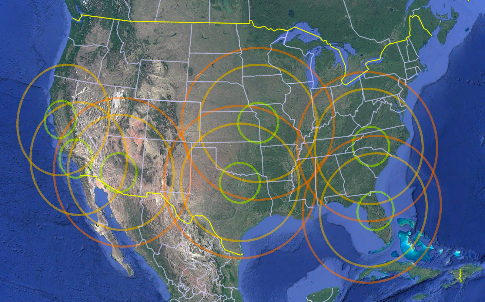
The National Aerial Services’ High-Wing Fleet is ready to offer turnkey crew and aircrafts from the following cities:
- Dallas (DFW)
- Phoenix (PHX)
- Los Angeles (LAX)
- San Francisco (SFO)
- Charlotte (CLT)
- Orlando (MCO)
- Kansas City (MCI)