

Fleet Vision
National Aerial Services operates a range of proven fixed-wing aerial survey aircraft, selected to meet the demands of modern survey missions.
Our fleet includes both single-engine and multi-engine platforms configured to support a wide variety of aerial survey requirements. Each aircraft is chosen based on mission profile, sensor requirements, endurance, and operational environment—ensuring the right platform is matched to each project.
All aircraft operated by National Aerial Services are maintained to high industry standards and flown by experienced survey pilots who understand the importance of stability, precision, and consistency. From long, high-altitude mapping flights to lower-level specialized survey operations, our platforms provide reliable performance and dependable results.
Mission-Driven Aircraft Selection
• Support diverse sensor types and payloads
• Optimize endurance, range, and operating altitude
• Adapt to terrain, weather, and project timelines
• Provide redundancy and scheduling reliability
Proven Survey
Platforms
Our aircraft are well-suited for:
• Aerial mapping and photogrammetry
• Remote sensing and data collection
• Corridor, infrastructure, and area surveys
• Specialized survey profiles requiring precise line flying
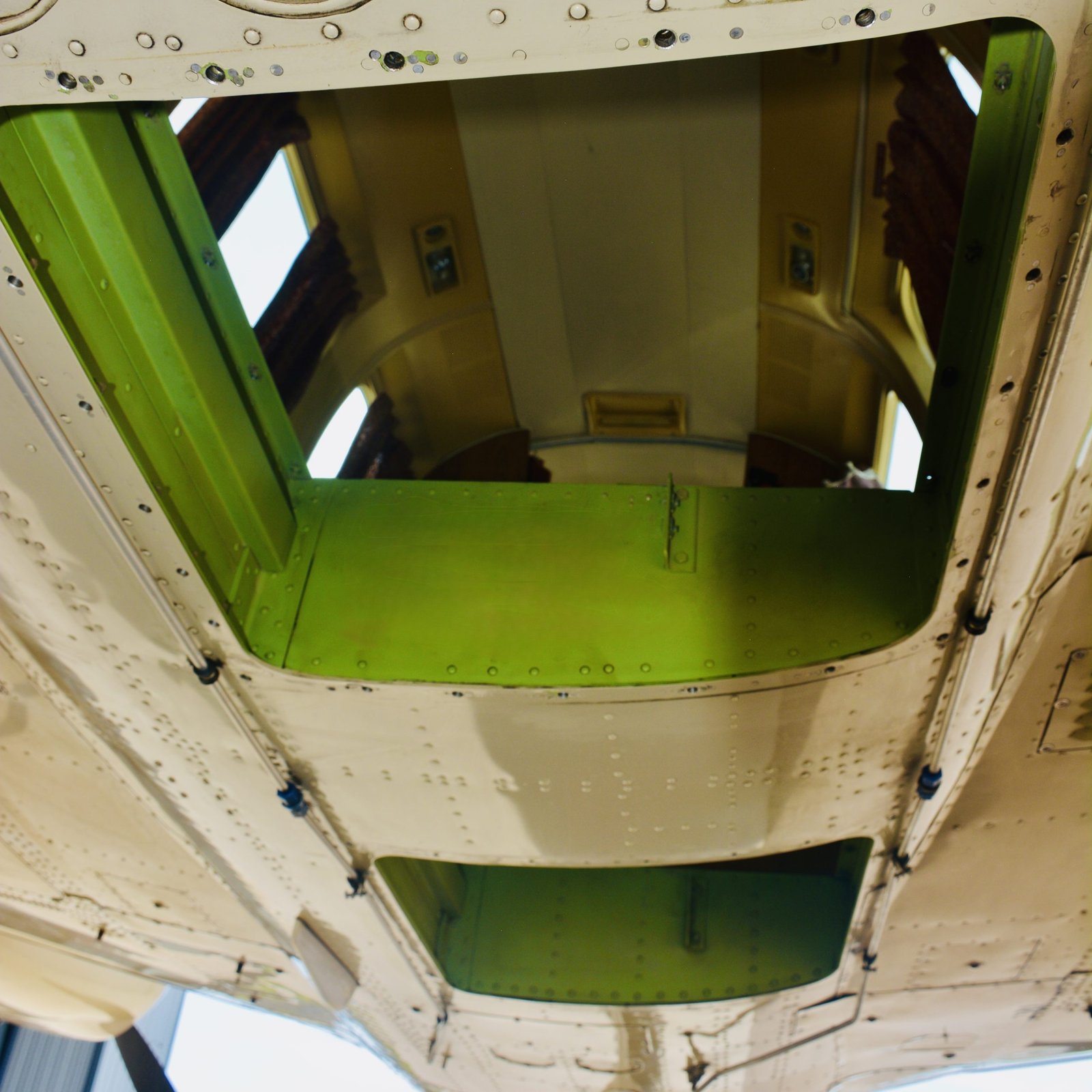
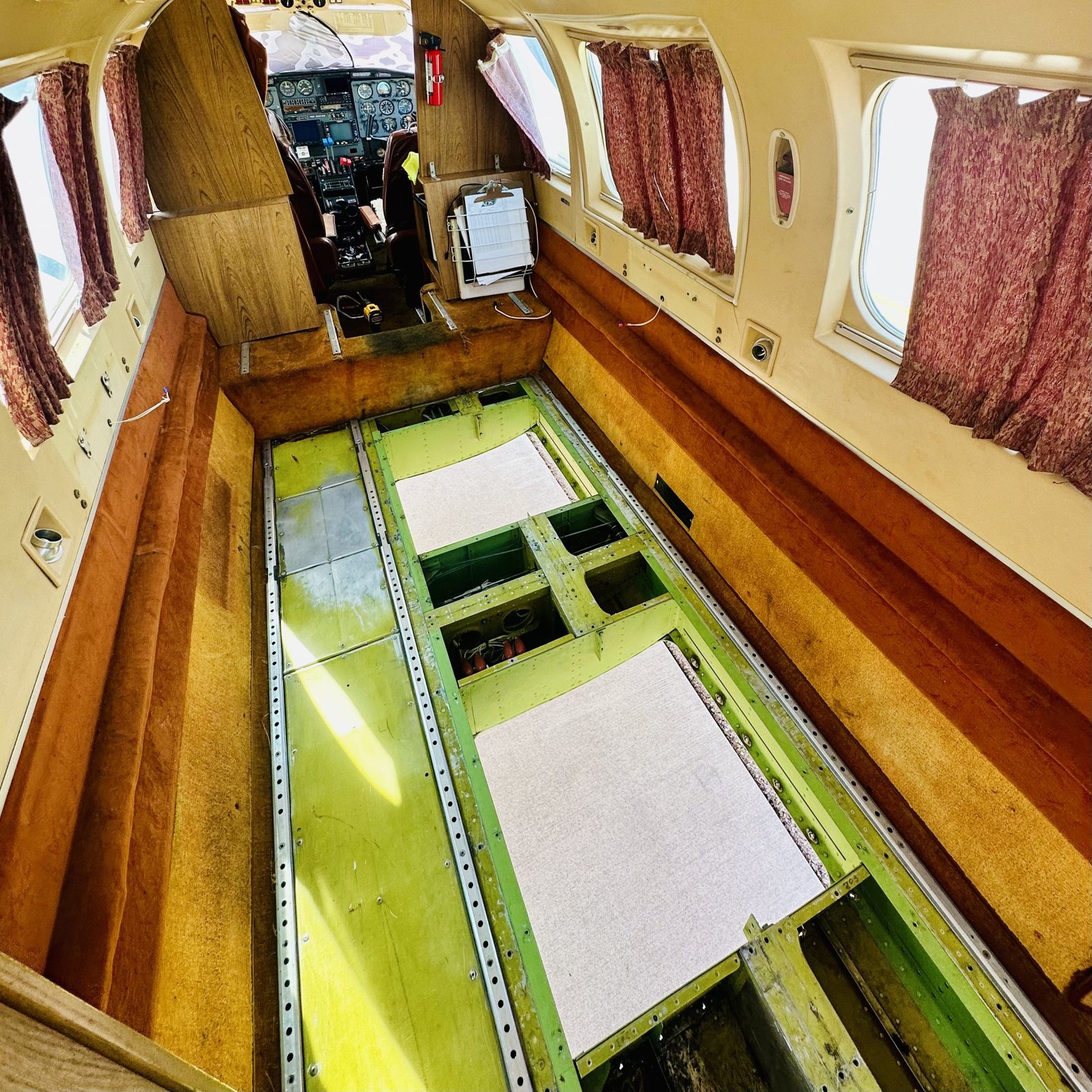
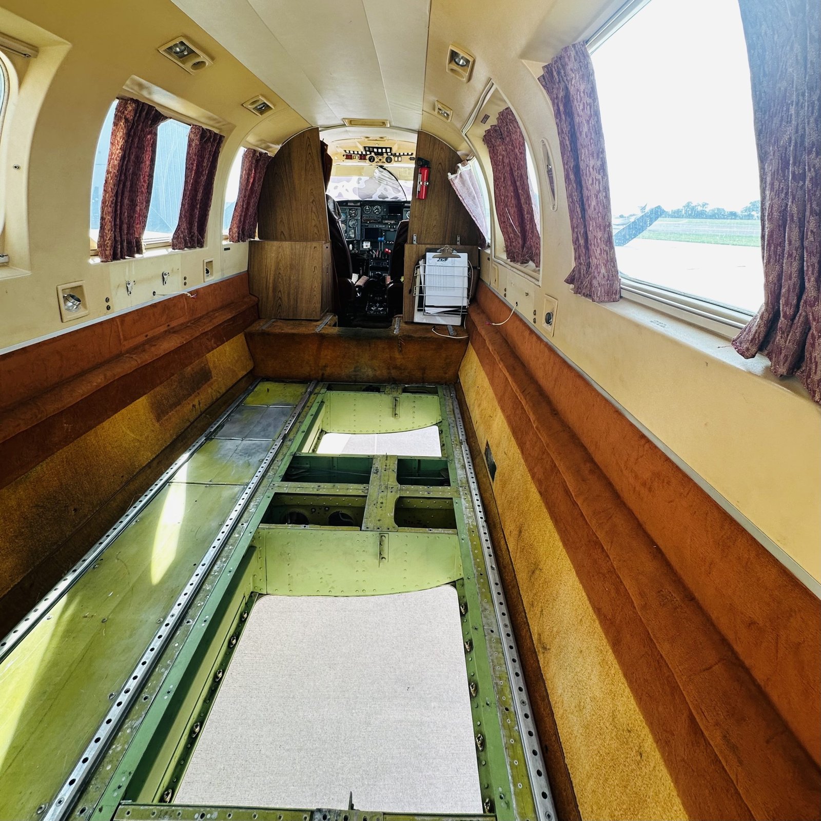
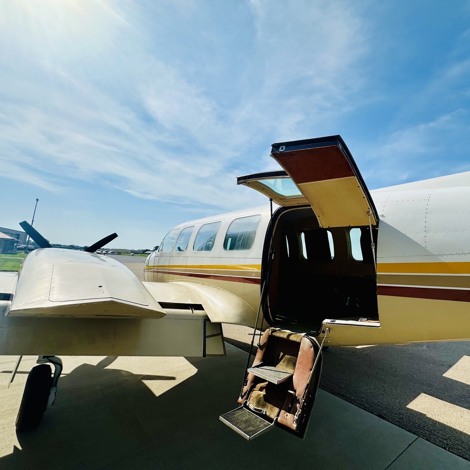
Piper Chieftain PA31-350
Platform Overview
The Piper Navajo Chieftain PA-31-350 is a proven workhorse in the world of twin-engine aircraft, known for its power, reliability, and generous cabin space. Introduced in the late 1970s as the largest and most capable variant of Piper’s Navajo line, the Chieftain was designed to meet the needs of operators who required greater payload, range, and versatility. Equipped with counter-rotating turbocharged Lycoming engines, the PA-31-350 delivers strong climb performance and dependable operation under a variety of conditions.
The Chieftain’s large, six passenger cabin comfortably accommodates crew, equipment, and mission systems, making it ideal for extended operations and multi-sensor payloads. Its wide center of gravity range and high useful load allow for flexible interior configurations and sensor installations without compromising performance. Modern avionics upgrades, smooth handling, and robust systems further enhance safety and efficiency during complex missions.
For Helios, the Piper Navajo Chieftain serves as a versatile and capable platform—balancing range, endurance, and payload capacity with the comfort and reliability required for demanding large aerial imaging and LiDAR collection projects.
Cabin & Door Dimentions
Performance & Payload
Sensor Station & Mission Power
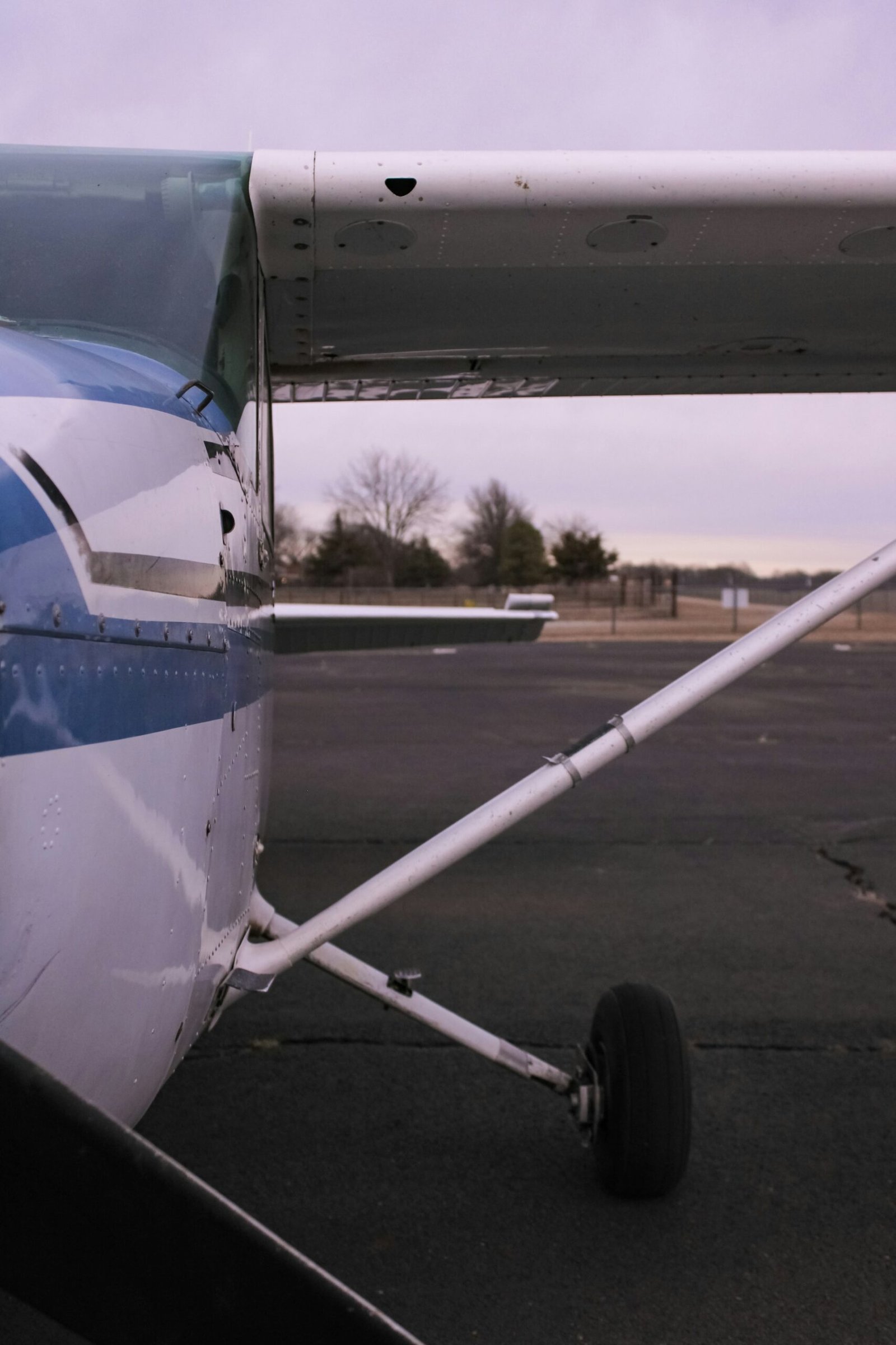
High-Wing Fleet
National Aerial Services manages a nationwide network of trusted high-wing aircraft, such as Cessna 172s, 182s, and 206s, ideal for low to mid altitude imaging and mapping missions. These aircraft are valued for their stability, efficiency, and excellent downward visibility, making them a cornerstone of aerial survey operations.
Each platform in our network is carefully vetted for airworthiness, performance, and compliance with FAA commercial standards. Their high-wing configuration provides unobstructed sensor views and safe, reliable handling in a wide range of conditions. Combined with National Aerial Services’ operational oversight and mission planning expertise, this network allows us to deploy capable aircraft quickly and cost-effectively anywhere in the country.
With consistent operation standards and flexible payload options, National Aerial Services’ high-wing fleet extends our reach; delivering dependable data collection across diverse terrain and project types.